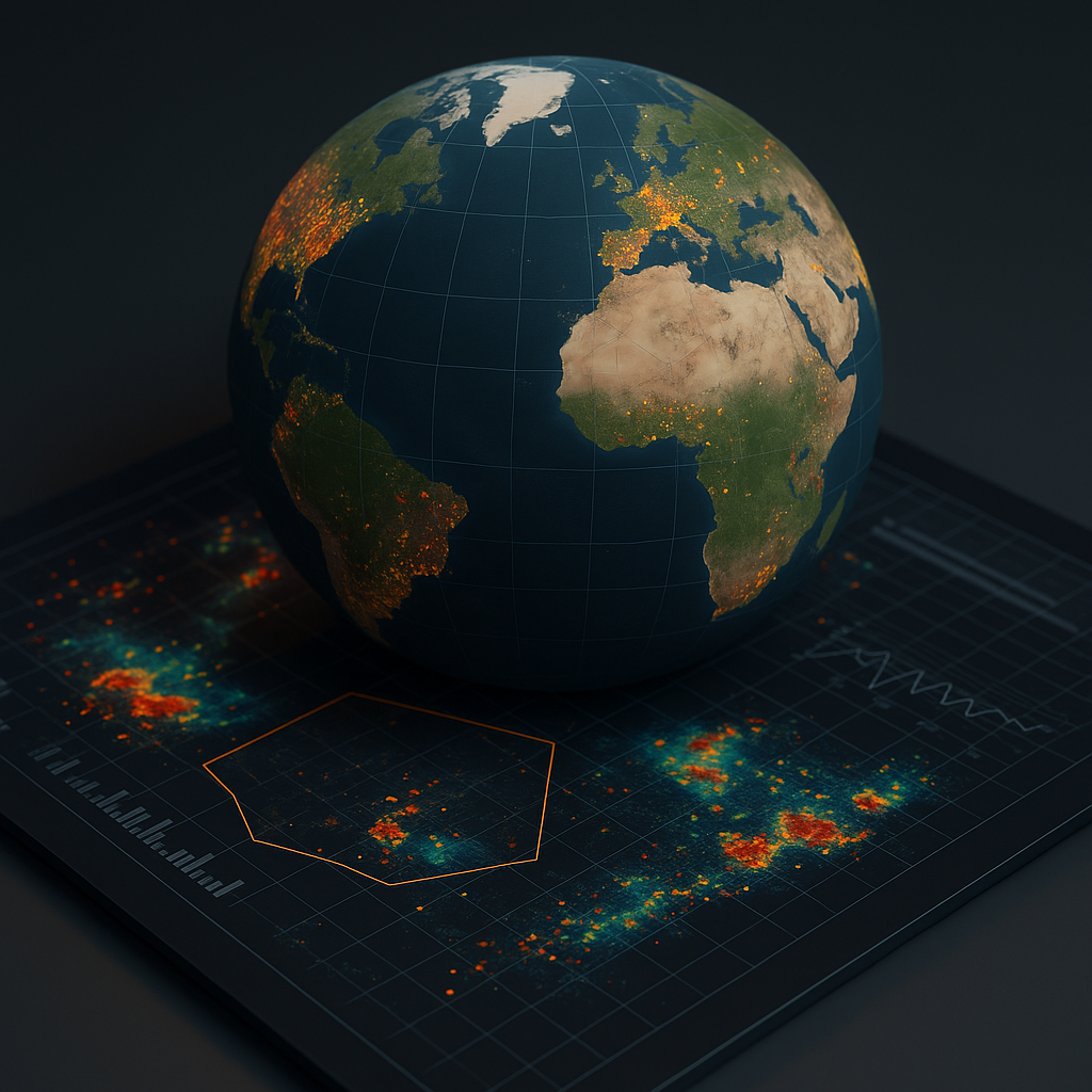
Geo-spatial analytics has become one of the most influential branches of modern data science, enabling organizations to understand patterns, trends, and relationships through the lens of location. As the world becomes increasingly digital, every action, event, and movement generates location-based information. Smartphones, sensors, satellites, transportation systems, social platforms, and connected devices continuously produce geographic coordinates, maps, and spatial observations. Geo-spatial analytics transforms this raw location data into meaningful insights that help businesses, governments, researchers, and industries make smarter, more informed decisions. It provides a powerful way to analyze how phenomena evolve across space and time, revealing insights that traditional datasets often fail to capture. From predicting traffic flows to assessing climate risks, monitoring urban growth, or improving supply chain operations, geo-spatial analytics has emerged as a critical tool for data-driven planning and strategic development.
At its core, geo-spatial analytics integrates geographic information systems with advanced data science techniques to visualize and interpret patterns tied to specific locations. Satellite imagery, GPS data, drone footage, aerial surveys, and digital maps form the foundation of spatial datasets. Analysts use these datasets to track movement, detect clusters, identify hotspots, and understand spatial relationships between different variables. For example, analyzing disease outbreaks alongside demographic data, road networks, and environmental factors can help health authorities identify high-risk areas. Retailers use geo-spatial analytics to choose new store locations by evaluating footfall, competitor presence, population density, and accessibility. Urban planners rely on spatial data to design smarter, more sustainable cities that optimize land use, reduce congestion, and support economic development. The integration of location intelligence with analytical modeling provides a holistic view of complex real-world scenarios.
Advances in artificial intelligence have accelerated the growth of geo-spatial analytics by enabling automated interpretation of large-scale satellite and imagery data. Traditionally, analyzing satellite images required manual inspection, which was time-consuming and error-prone. Machine learning models now detect patterns such as deforestation, crop health, water levels, urban expansion, illegal mining, and natural disaster damage with high precision. Computer vision algorithms identify objects, classify land types, and track environmental changes across large geographic regions. These automated capabilities provide governments and environmental agencies with near-real-time insights, enabling proactive interventions. Whether monitoring coastal erosion, predicting flood zones, or assessing wildfire risks, AI-powered spatial analysis is transforming how societies respond to environmental challenges.
Geo-spatial analytics also plays a pivotal role in transportation, logistics, and supply chain optimization. Businesses use location data to optimize delivery routes, monitor fleet movement, analyze traffic conditions, and predict travel times. Real-time GPS tracking combined with historical movement patterns helps companies reduce fuel consumption, shorten delivery delays, and improve overall efficiency. E-commerce companies rely on geo-spatial models to determine the best warehouse placements, delivery zones, and distribution strategies for different regions. Public transport authorities use spatial analytics to adjust routes, enhance connectivity, and support urban mobility planning. As smart cities evolve, geo-spatial analytics is becoming essential for designing intelligent transportation networks and improving traffic flow.
Another important application of geo-spatial analytics is in public safety and disaster management. Emergency services use spatial data to map vulnerable communities, identify high-risk zones, and plan evacuation routes. During floods, earthquakes, cyclones, or wildfires, timely geo-spatial insights help authorities coordinate rescue efforts and allocate resources effectively. Heat maps reveal areas where people may be stranded, while satellite data provides real-time updates on environmental changes. Governments use spatial risk models to predict disaster severity, monitor infrastructure resilience, and implement automated alert systems. These capabilities are vital for minimizing loss of life and property, especially in climate-sensitive regions where extreme weather events are becoming more frequent.
Geo-spatial analytics also enhances business intelligence by enabling companies to understand consumer behavior through location patterns. Retailers analyze customer movement, store visits, neighborhood profiles, and footfall trends to design marketing strategies and personalize offers. Telecom companies use spatial analytics to optimize tower placements, improve network coverage, and analyze signal strength across regions. Financial institutions evaluate geographic risk for loans, insurance, and investment planning. Real estate firms depend on spatial insights to determine property values, assess neighborhood growth, and predict market trends. By combining demographic, behavioral, and location-based insights, businesses gain a comprehensive understanding of their customers and operational environments.
One of the growing domains in geo-spatial analytics is environmental sustainability. Spatial analysis helps scientists measure pollution levels, detect air quality trends, track wildlife habitats, and assess the health of natural ecosystems. Governments use spatial data to regulate industrial emissions, manage water resources, conserve forests, and evaluate the ecological impact of construction projects. Precision agriculture uses geo-spatial analytics to enhance crop monitoring, manage soil health, and optimize irrigation. Farmers use satellite-based vegetation indices to assess crop vigor and detect disease outbreaks early. As climate change accelerates, geo-spatial analytics provides critical insights into rising sea levels, melting glaciers, shifting rainfall patterns, and the changing dynamics of global ecosystems.
Despite its transformative potential, geo-spatial analytics faces several challenges that must be addressed for effective implementation. High-quality spatial data requires continuous monitoring, advanced sensing technologies, and significant data storage infrastructure. Many regions still lack reliable data collection systems, creating gaps in spatial coverage. Ensuring accuracy, consistency, and timeliness of spatial information can also be difficult, especially when integrating data from multiple sources such as satellites, drones, and ground sensors. Privacy concerns arise when analyzing human movement or location patterns, requiring strict compliance with data protection laws. Additionally, geo-spatial analytics demands specialized skills in geography, data science, machine learning, and cartography, which many organizations lack. As industries adopt spatial intelligence more widely, investing in talent, infrastructure, and ethical frameworks becomes essential.
The future of geo-spatial analytics is highly promising, driven by advancements in satellite technology, AI models, 5G connectivity, drone systems, and real-time sensor networks. High-resolution imaging and Earth observation satellites will offer unprecedented detail, enabling hyper-accurate mapping of the planet. Autonomous systems will continuously analyze spatial data and update models in real time, generating dynamic simulations of urban growth, environmental changes, and global ecosystems. Digital twins of cities and natural environments will allow planners to simulate infrastructure changes, test disaster responses, and evaluate sustainability projects before implementation. The fusion of geo-spatial analytics with augmented reality, blockchain, autonomous vehicles, and smart-city ecosystems will redefine how societies plan, build, and protect their environments. As the world becomes more interconnected, location intelligence will serve as a foundation for innovation, resilience, and strategic decision-making across all sectors.